Shipping Lanes
Shipping Lanes
Shipping lanes are established maritime routes regularly used by vessels travelling between ports. These routes are chosen because they are safe, efficient, economically viable, and historically reliable.
In simple terms, a shipping lane is the ocean equivalent of a motorway. Instead of random navigation across open water, ships follow recognised corridors shaped by geography, weather patterns, trade flows, and international regulations.
They are critical to global trade. The majority of world commerce moves by sea, and much of it travels through a relatively small number of concentrated maritime corridors.
What Is Meant by a Shipping Lane?
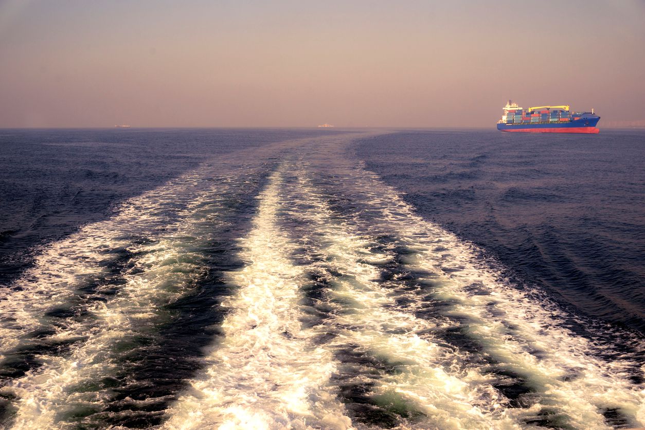
A shipping lane (also called a sea lane or maritime corridor) is a commonly used route across oceans or seas where commercial vessels travel between major ports.
These routes are not physically marked on the water, but are clearly visible on vessel tracking systems such as MarineTraffic, where dense lines of ship movements show heavily trafficked corridors.
Shipping lanes exist because:
- They follow the shortest practical route between trade hubs
- They avoid dangerous shallow waters or reefs
- They account for prevailing winds and currents
- They connect strategic canals and straits
Why Shipping Lanes Matter
Over 80% of global trade by volume moves by sea. Shipping lanes enable:
- Movement of containerised goods
- Transport of oil and liquefied natural gas (LNG)
- Bulk commodities such as grain, iron ore, and coal
- Vehicle and machinery transport
When a major lane is disrupted, global supply chains feel it quickly. Delays in one chokepoint can ripple across continents.
Major Global Shipping Lanes
1. English Channel
One of the busiest shipping lanes in the world, the English Channel connects the Atlantic Ocean to the North Sea. It links major European ports such as Rotterdam, Antwerp, and Hamburg.
2. Strait of Malacca
The Strait of Malacca connects the Indian Ocean to the Pacific via Singapore. It is one of the most strategically important shipping corridors in the world.
3. Suez Canal Route
The Suez Canal links the Mediterranean Sea to the Red Sea, allowing ships to avoid the long route around Africa.
4. Panama Canal Route
The Panama Canal connects the Atlantic and Pacific Oceans and is vital for trade between the Americas, Asia, and Europe.
5. Strait of Hormuz
The Strait of Hormuz connects the Persian Gulf to the Arabian Sea and is strategically critical for global oil transport.
What Makes a Shipping Lane Busy?
- Proximity to major industrial economies
- Access to deep-water ports
- Canal and strait connections
- Oil and gas export routes
- Container trade volumes
Types of Ships Using Shipping Lanes
- Container ships – retail and consumer cargo
- Bulk carriers – grain, coal, minerals
- Oil and LNG tankers
- Vehicle carriers (RoRo vessels)
- General cargo ships
Risks and Challenges
- Congestion and bottlenecks
- Weather disruption
- Piracy in certain regions
- Geopolitical instability
- Environmental risks
Key Terms Explained
| Term | Meaning |
|---|---|
| Sea lane | Another term for a shipping lane — a commonly used maritime route between ports. |
| Maritime chokepoint | A narrow passage where shipping traffic is concentrated and vulnerable to disruption. |
| AIS | Automatic Identification System used to track vessel positions. |
| Panamax | Ship size classification based on original Panama Canal lock dimensions. |
| Strait | A narrow waterway connecting two larger bodies of water. |
Shipping Lanes – FAQs
| Question | Short Answer |
|---|---|
| What is a shipping lane? | A regularly used ocean route followed by commercial ships for efficient and safe navigation. |
| Are shipping lanes marked? | Most are informal traffic corridors, though some use regulated separation schemes. |
| Why are chokepoints important? | They concentrate global traffic, so disruption can impact supply chains worldwide. |
| What are the busiest routes? | English Channel, Strait of Malacca, Suez Canal, and Panama Canal routes. |